

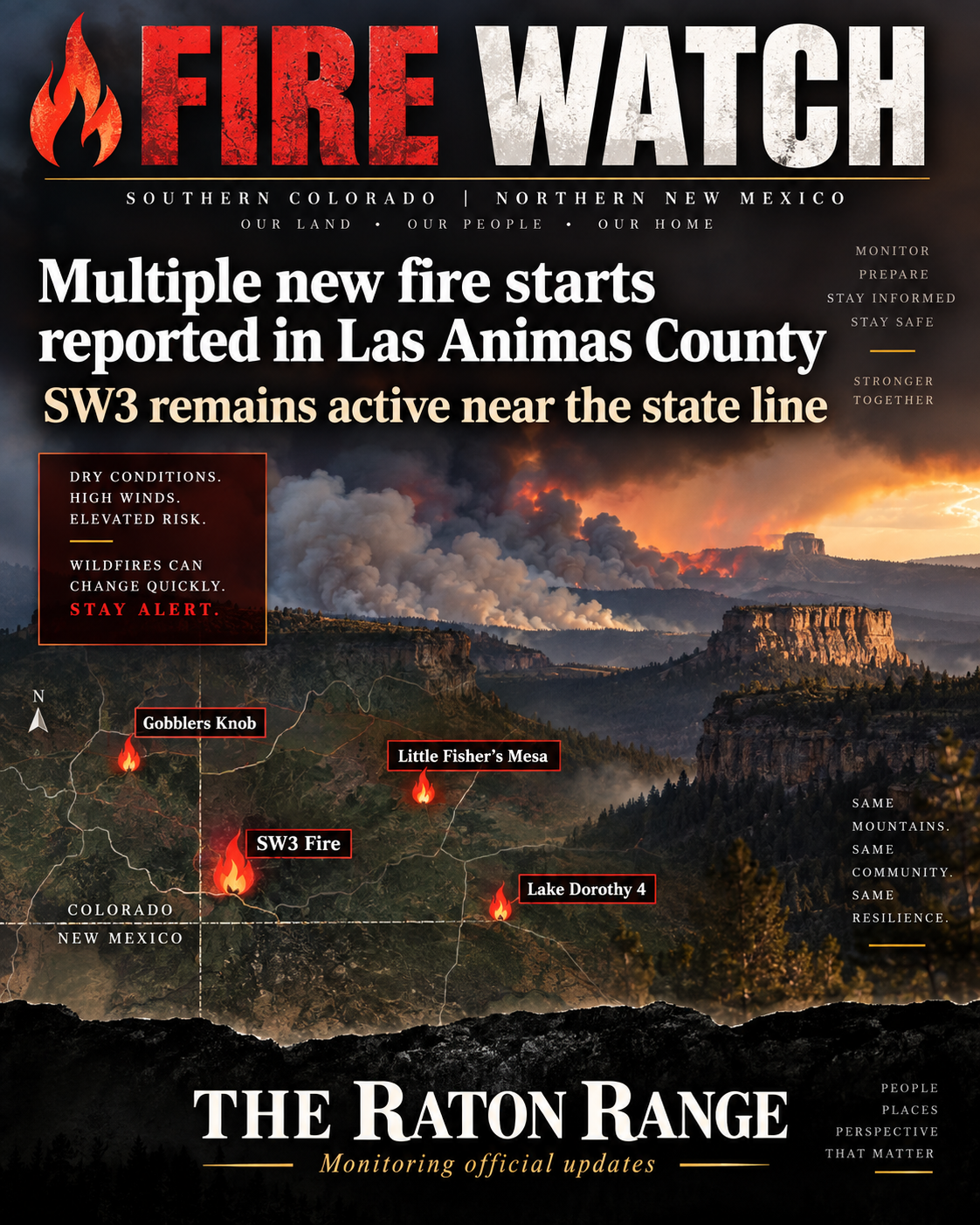
SW3 remains active near the state line as new starts appear near Little Fisher’s Mesa, Gobblers Knob and Lake Dorothy
By Roger Rael
THE RATON RANGE
Sept. 10, 2026 | 7:18 a.m. MDT
TRINIDAD, Colo. — A cluster of new wildfire starts has appeared across Las Animas County in recent days, adding to an already active fire season in southern Colorado and near the New Mexico state line.
Federal interagency wildfire data continues to list the SW3 Fire as active at approximately 85 acres. The fire was first reported Sept. 2 in southern Las Animas County, roughly 8 miles north of Raton and southeast of Starkville. No updated containment percentage has been posted in the latest available interagency data.
On Sept. 8, several additional incidents were entered into the national wildfire record.
The Gobblers Knob Fire was reported northeast of Hoehne, while the IA 1713-Pipeline Road Fire was entered about 10 minutes later roughly 12 miles farther east. Both were initially listed at less than one acre, with no reported containment figures.
Another new start, IA 1711-Little Fisher’s Mesa, was also recorded Sept. 8 in Las Animas County. Interagency-fed data continues to show that fire at less than one acre, with no significant growth reported.
A fourth incident, the Lake Dorothy 4 Fire, was reported near the Lake Dorothey area close to the Colorado-New Mexico line. Early interagency data placed that fire at less than one acre. One current fire-data tracker now shows the incident as no longer active, suggesting firefighters may have contained or cleared the start from the national incident feed.
As of Thursday morning, THE RATON RANGE found no official evacuation orders, structure-loss reports or major road closures tied to these newer starts.
The National Interagency Fire Center reported Wednesday that firefighters nationwide were battling 59 large fires, including three in Colorado, as the national preparedness level dropped from 4 to 3.
THE RATON RANGE will continue monitoring WildCAD, federal interagency records and Las Animas County emergency information for acreage, containment and evacuation updates.